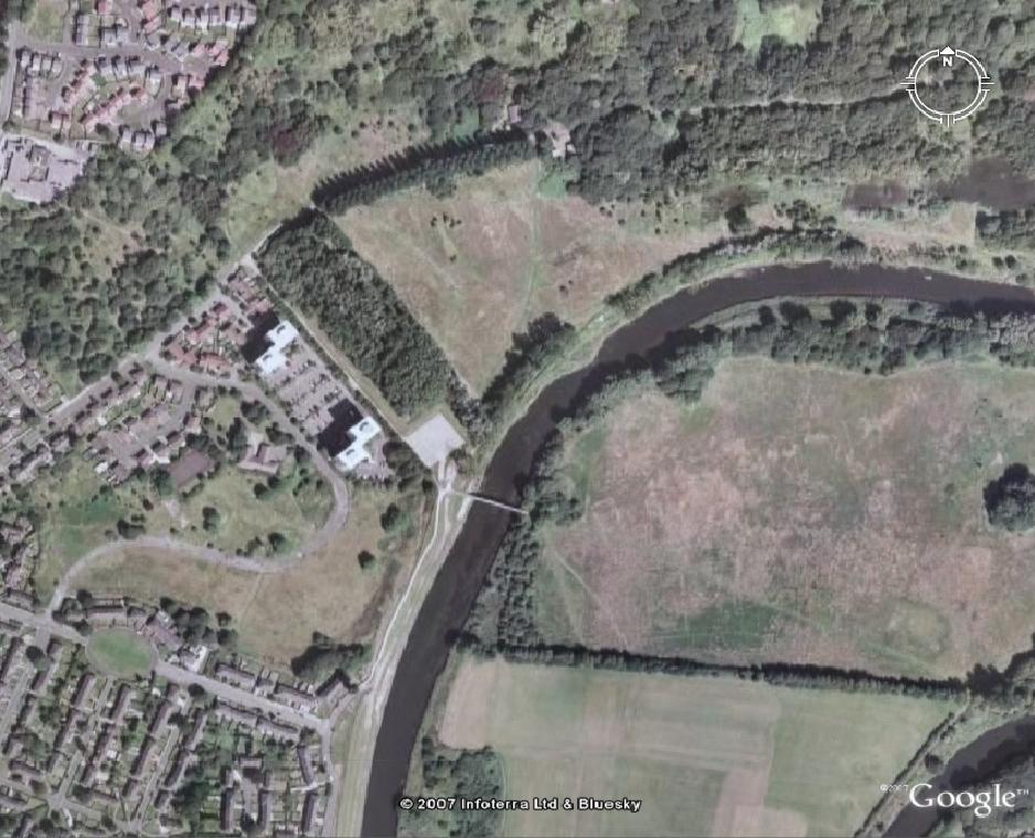
An overview of the area as it is today (2007). All bar two of the flats on Kersal Way have been removed. To the North East you can see Kersal Dale, and to the East across the River Irwell you can see the site of the old Racecourse. To see a comparison of this area in 1961 and in 2007 roll your mouse over the image.
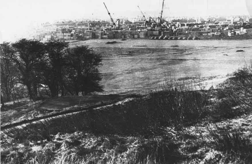
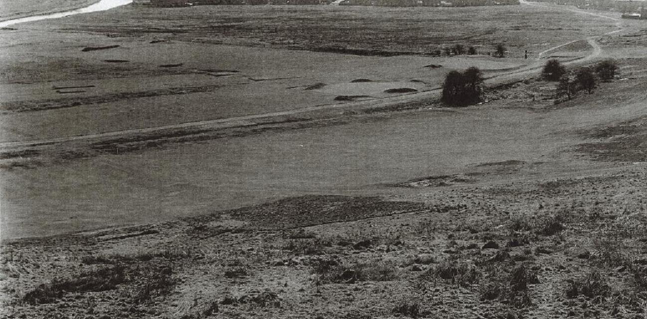
The area where the flats would be built is used as a war dump in 1944.
An image of Kersal Dale taken by Peter Houston in 1954 or 1955 from Vine Street. Thic covers the area where the flats would be built. You can see the houses of Kingsley Avenue to the right.
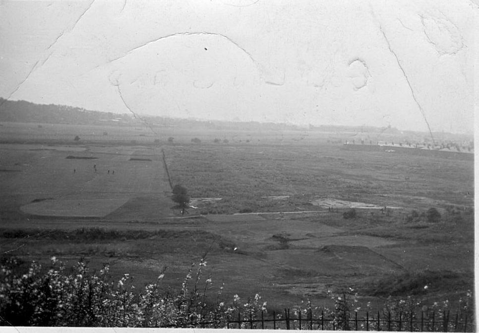
A picture of Kersal Dale dated the 23rd April 1958. This is another shot of the area where the flats would be built.
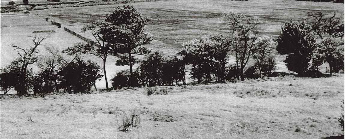
Another shot of the area taken on the 23rd April 1958.
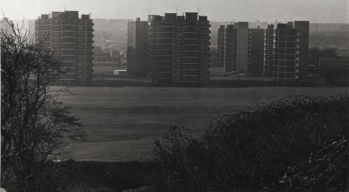
The flats, Kersal Dale, and the footbridge on the 6th July 1978 thanks to Bill Rich.
The same area sometime in the 1970s.
The same area in November 1982. Thanks to R. Idle
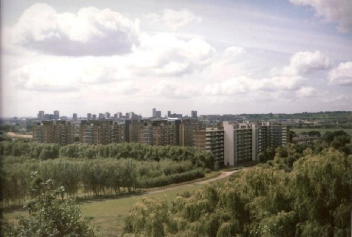
The same area in 1989.
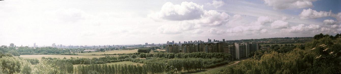
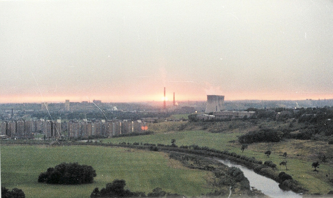
A wide panoramic view of the flats and the Dale in 1989.
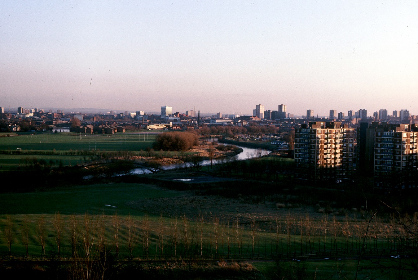
The flats, Kersal Dale and the footbridge in the 1980s.
From Vine Street in 1987. Photo by Kate Butterworth.
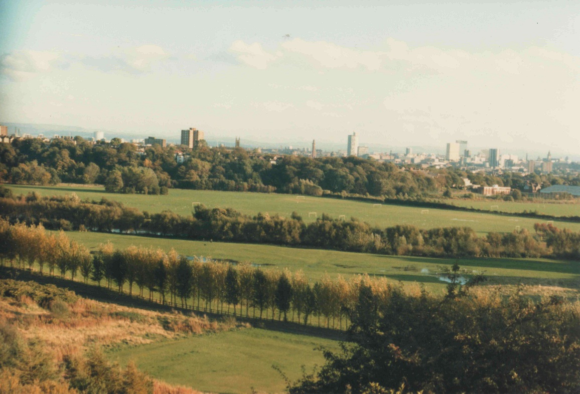
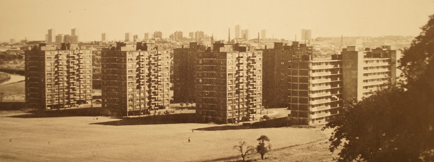
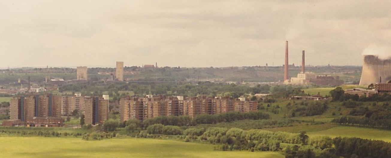
A splendid colour shot of the Dale from October 1987. You can see how much the Dale has changed from the 1960s and the 1970s. The amount of land covered by trees is increasing. Photo by Kate Butterworth.
A crisp, black and white view of the dale and the flats in 1971. If you roll your mouse over the image you can see the same spot 38 years later in 2009.
Two shots of the Dale taken in 1964. The first is of the area near to the flats which contains the Greenkeeper's bungalow. The second is of the bend in the Irwell
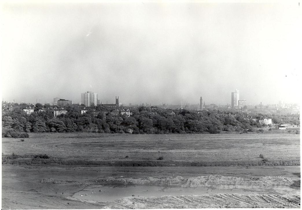
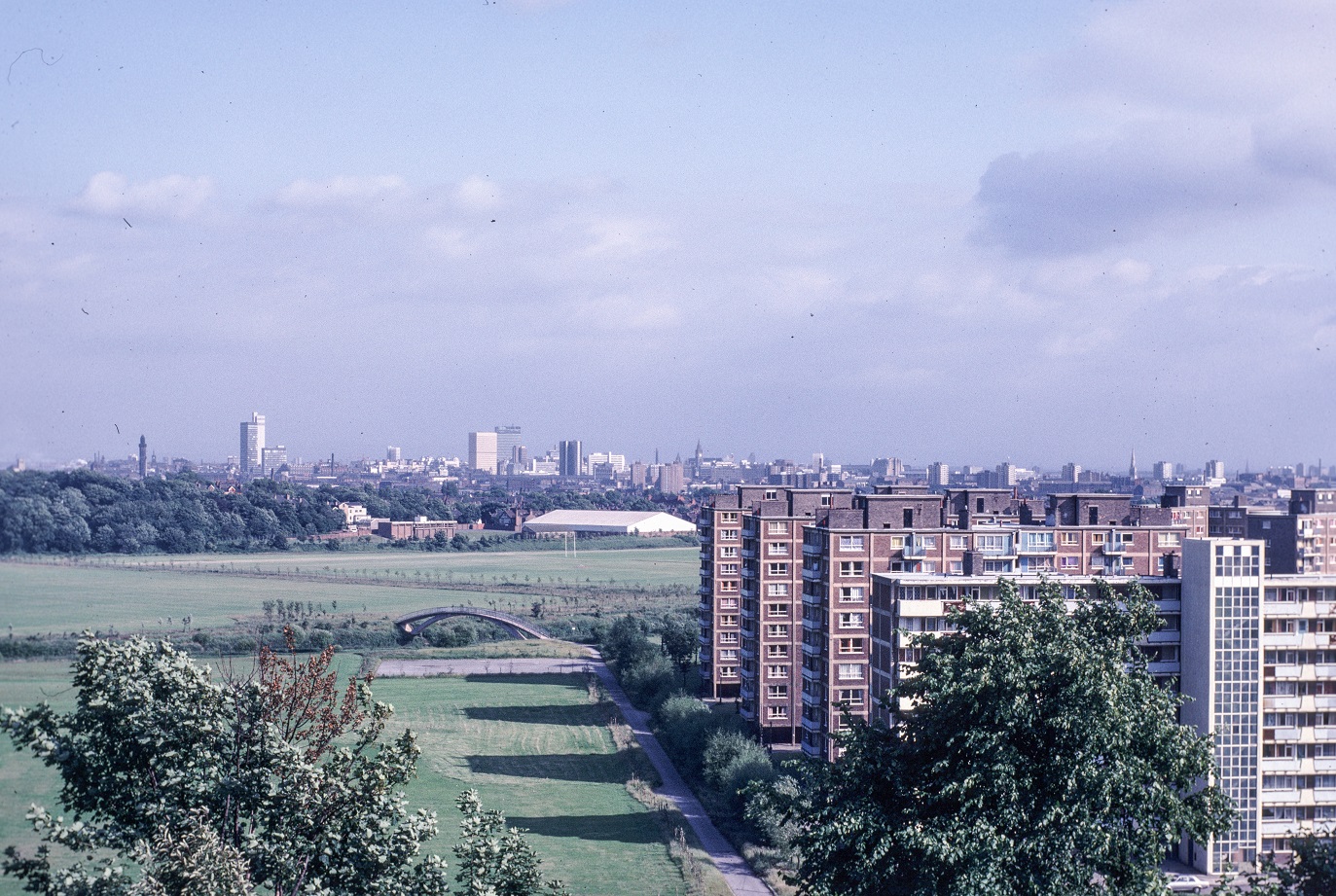
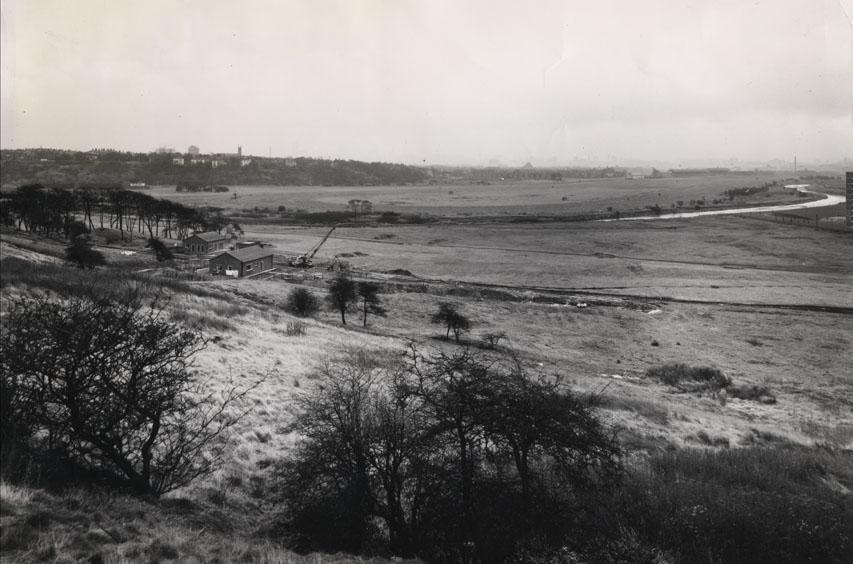
A photograph (early to mid 1970s) also taken from Oaklands Road at the same time. This overlaps with the earlier picture to show the rest of Kersal Dale. It is noticable that the Kersal Bridge had not yet been built. In the background you can see Strangeways Tower, and the CIS building.
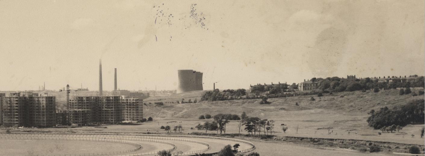
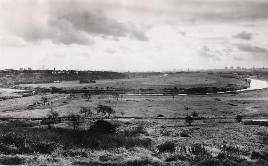
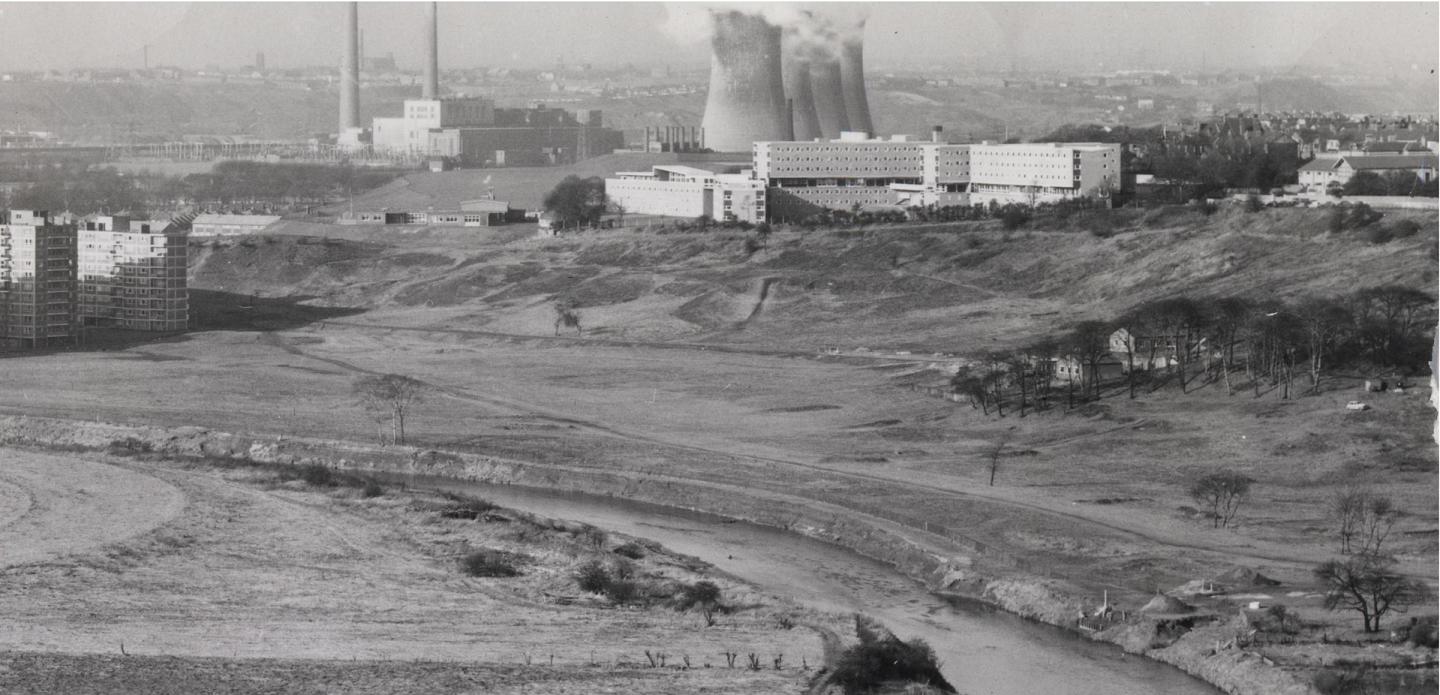
A view of the same part of the dale from the other side of the river. The picture above was taken in 1959 as the flats were being built. You can still see the large houses at the top of the dale near Vine Street. The picture below is from 1964. In the background you can see Agecroft cooling towers, Salford University halls of residence, and the special school.
And another view of the same areas in the 1980s. You can see how much the Dale has changed.
Another view of the same area taken in the 1980s.
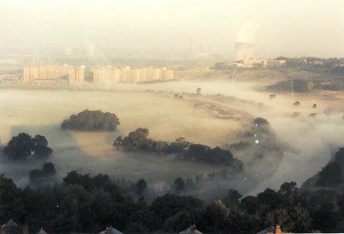
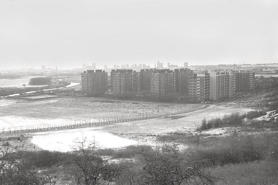
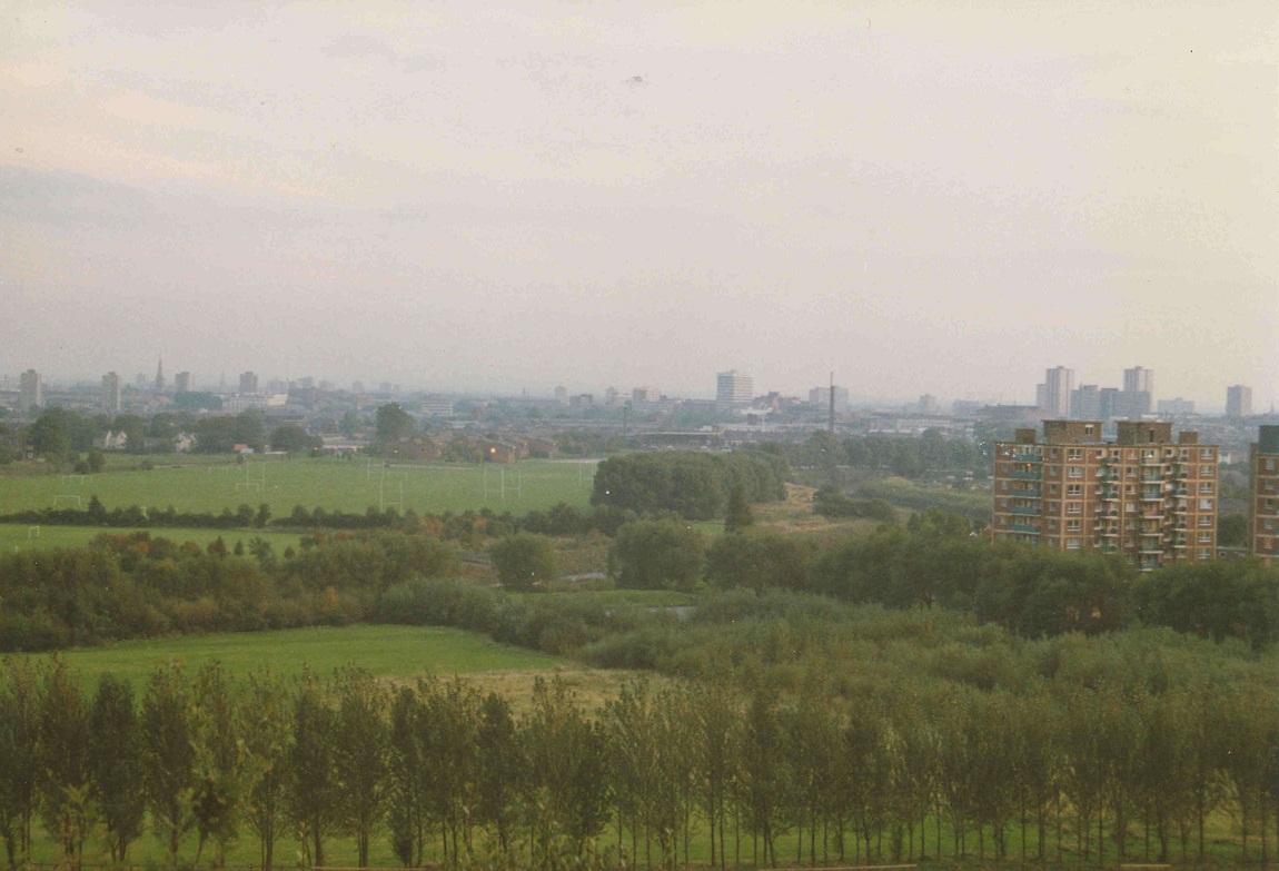
Another 1980s view of the same area this with atmospheric mist all over Kersal Dale.